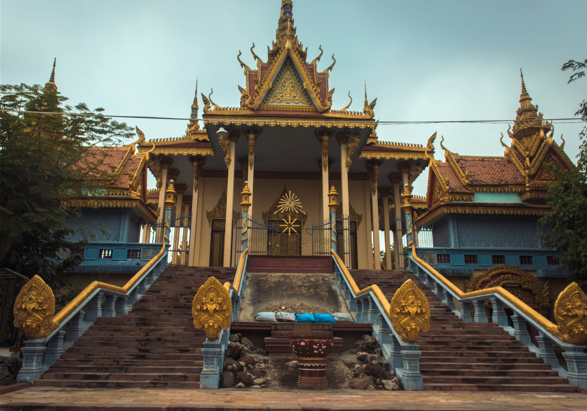
Angkor's Great Barays
Angkor's Great Barays
Indratataka, Eastern Baray, Western Baray and Jayatataka: guide to Angkor's four great reservoirs, from their Khmer engineering to the temple-islands they shelter.
The barays are the great water reservoirs built by Khmer craftsmen between the 9th and 12th centuries around the capital of Angkor. Four of them remain within the archaeological site near Siem Reap: Indratataka, Yashodharatataka (Eastern Baray), the Western Baray and Jayatataka. These hydraulic structures, sometimes stretching several kilometres, harbour temples on artificial islands at their centre and stand as testament to ancient engineering whose exact purpose—agricultural or symbolic—continues to fuel scholarly debate.
Why visit the barays
- The sheer scale of these works: the Western Baray measures 8 km by 2.2 km, making it the largest reservoir ever constructed in Cambodge.
- The temple-islands they contain: Lolei, Eastern Mebon, Western Mebon and Neak Pean stand at the centre of these vast waters.
- An essential key to understanding Angkor's rise and fall, studied notably by National Geographic in 2017.
- A striking contrast between the two barays still holding water (Western Mebon, Jayatataka) and the two now drained, today covered in rice fields or vegetation.
Engineering at the heart of the Khmer empire
The story begins in 802, when Jayavarman II proclaims himself chakravartin (universal monarch) atop Phnom Kulen, a founding act of the Khmer empire. His successors launch the construction of monumental reservoirs from the 9th century onwards, designed to serve agriculture, regulate monsoon floods and cement the political and religious legitimacy of kings.
In the classical interpretation, the baray collects monsoon waters and those from swollen rivers. Thanks to the natural slope of the terrain, water is redistributed to rice paddies and, in case of surplus, towards Tonlé Sap Lake. This agricultural function remains debated, however: some scholars see it primarily as a symbolic device, water being inseparable from royal legitimacy.
Water: the paradox of Angkor's decline
A capital among the most populated cities of the pre-industrial world, with estimates sometimes reaching approximately one million inhabitants, Angkor rested on a fragile hydraulic balance. From the late 14th century onwards, prolonged droughts alternating with torrential monsoons caused repeated erosion and flooding. Irrigation channels are thought to have become clogged as structures collapsed, exacerbating the damage. The Siamese invasion of 1430 precipitated Angkor's final decline as a capital.
The four great barays to know
Indratataka (Roluos group)
The first of the great barays, approximately 3.8 km by 880 m, completed during the reign of Indravarman I towards the end of the 9th century. It served Hariharalaya, the capital that preceded Angkor. At its centre stands the temple of Lolei, today situated on a dry baray.
Yashodharatataka (Eastern Baray)
Built shortly after, it measures approximately 7.8 km by 1.8 km, nearly five times the surface area of Indratataka. Fifty years after its excavation, the Eastern Mebon is erected at its centre. The baray is today drained and largely converted to agricultural land.
Western Baray
The largest in Cambodge, 8 km by 2.2 km, begun in the early 11th century under Suryavarman I. It shelters an artificial island at its heart bearing the ruins of the Western Mebon. It is one of only two barays that still retain water year-round.
Jayatataka
The latest, approximately 2.5 km by 600 m, commissioned by Jayavarman VII at the end of the 12th century. It is associated with the adjacent temple of Preah Khan, but it is Neak Pean that stands on its central island. The baray, partly overgrown with vegetation, fills only during the rainy season.
Practical information
- Location: all barays lie within Angkor's archaeological park, near Siem Reap. Indratataka is found close to the Roluos group, about fifteen kilometres east of the city.
- Access: a visit requires an Angkor Pass (1, 3 or 7 days), purchased at the official ticket office at the north entrance to Siem Reap. The pass covers the entire park, including the temple-islands.
- Transport: tuk-tuk, bicycle or car with driver from Siem Reap. The Western Mebon, isolated on its island, may require a boat depending on water levels.
- Duration: plan to integrate the barays into a wider temple circuit; allow one to two hours per site depending on the central temple.
When to visit
The dry season (November to March) offers the most comfortable visiting conditions, but the drained barays (Indratataka, Yashodharatataka) then appear as mere plains. To see Jayatataka filled or to grasp the expanse of the Western Baray under contrasting light, the end of the rainy season (September-October) proves most striking. Secondary roads may become muddy, however.
Combine with your visit
- Banteay Srey, the "temple of women" to the north of the park.
- Banteay Samre, contemporary with Angkor Vat and close to the Eastern Baray.
- Banteay Kdei, a monastic complex linked to the central circuit.
- The Baphûon, within Angkor Thom, to deepen your understanding of Khmer architecture.
Frequently asked questions
Frequently asked questions
Four great barays remain within the archaeological site: Indratataka, Yashodharatataka (Eastern Baray), Western Baray and Jayatataka. They span from the late 9th to the late 12th century.
Only the two most recent: the Western Baray (holding water year-round) and Jayatataka, which fills partially during the rainy season. Indratataka and the Eastern Baray are today drained.
Beyond their scale, the barays provide access to remarkable temple-islands (Lolei, Eastern Mebon, Western Mebon, Neak Pean) and allow you to understand Angkor's hydraulic system, a key element in both the rise and fall of the Khmer empire.
No. The Angkor Pass (1, 3 or 7 days) covers the entire archaeological park, including temples located at the centre of the barays.
Plan your journey
The barays fit naturally into a circuit around Angkor's temples, complementing Tonlé Sap and sites across Siem Reap province. To craft a bespoke itinerary, explore our Cambodge travel ideas.
Nearby


Interested in this visit?
We can include it in your personalised itinerary.